This dataset is inactive (last observation on 7 November 2024).
Dataset
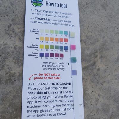
2020 OTF Test Strip Reading Study
Dataset by Water Rangers
Dataset summary
Recent photos
-
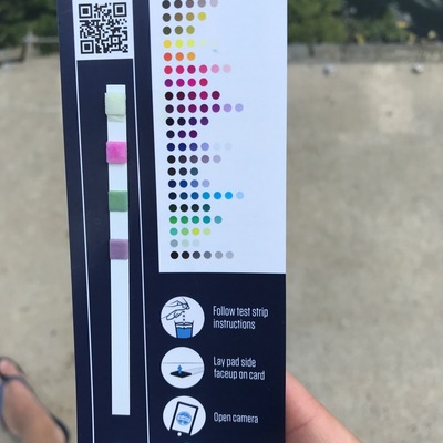
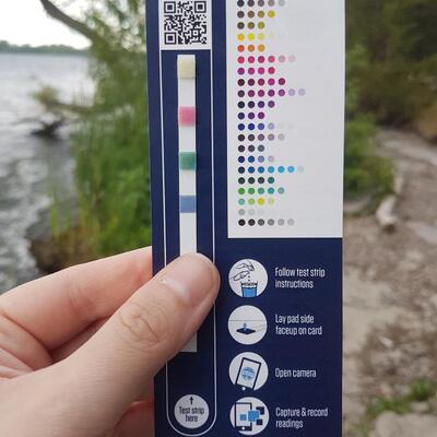
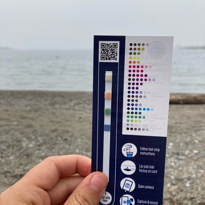
Otterbein Rd. , 27 July 2020 -
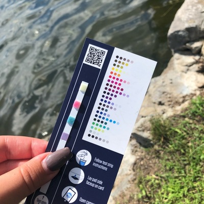
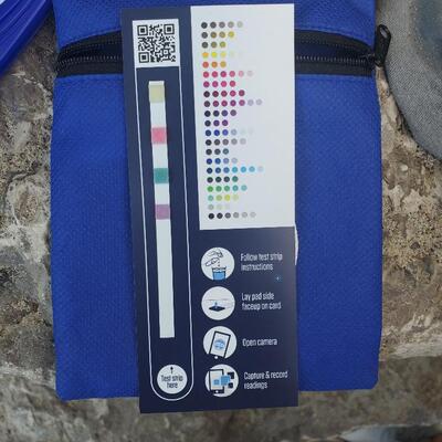
Behind KeyWest Condo, 30 July 2020 -
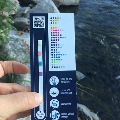
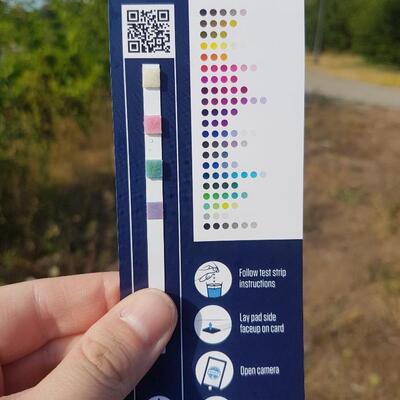
DesJardins Canal , 30 July 2020 -
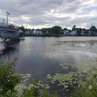
Dundas, Ontario , 30 July 2020 -
Boat Launch, 30 July 2020 -
Dows lake, 29 July 2020 -
Hogs Back , 28 July 2020 -
Hog’s Back, 28 July 2020 -
Lake Ontario at Massassauga Point Conservation Area in PEC, 28 July 2020 -
Lake Ontario at Massassauga Point Conservation Area in PEC, 28 July 2020 -
Ottawa, Rockcliffe, 28 July 2020 -
Parrot Riverfront Trail Above Moira Dam in Belleville, 28 July 2020 -
Parrot Riverfront Trail Above Moira Dam in Belleville, 28 July 2020 -
Miller’s Creek on Carwin Crescent, 28 July 2020 -
Mimico Waterfront, 28 July 2020 -
Michipicoten Harbour, 26 July 2020 -
North end of River St., at boat launch, 27 July 2020 -
Bateau Channel at the Howe Island Ferry dock, North shore, east end, 27 July 2020 -
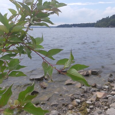
Bateau Channel at the Howe Island Ferry dock, North shore, east end, 27 July 2020 -
North end of River St., at boat launch, 27 July 2020


- Intended audience
- Our group or organization
- Intended use
- Education and engagement of local communities
Monitoring program details
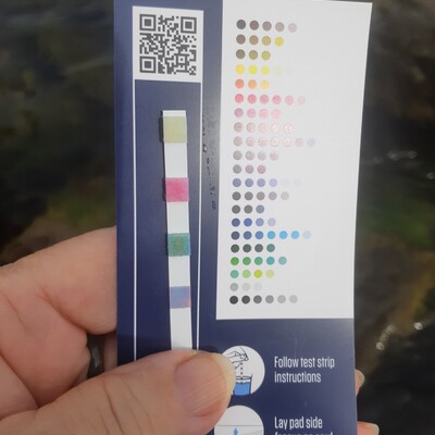
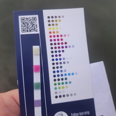
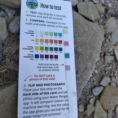
- Water quality criteria
- Canada
- Sampling frequency
- Weekly
Data sharing
Latest contribution to the dataset
 High Park Nature Centre
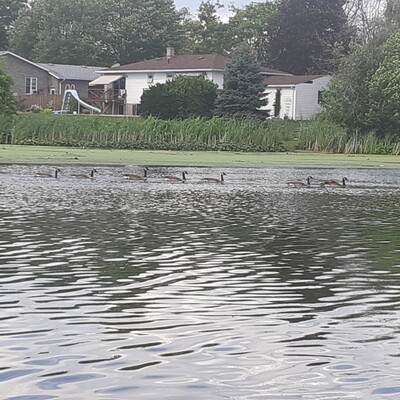
on 7 November at Grenadier park east shore
High Park Nature Centre
on 7 November at Grenadier park east shore