This dataset is inactive (last observation on 7 November 2024).
Dataset
2020 OTF Test Strip Reading Study
Dataset by Water Rangers
Dataset summary
Recent photos
-

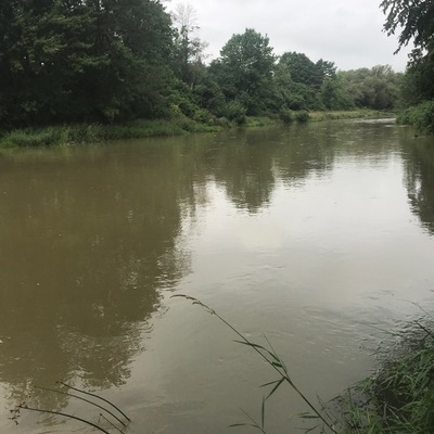
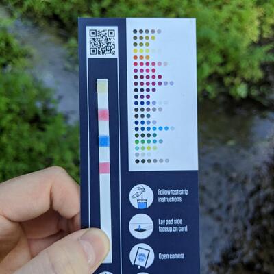
Rumble Pond Park, 3 August 2020 -
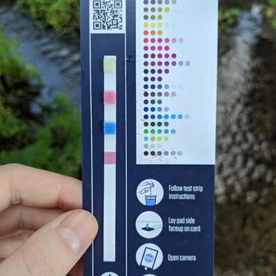
Mill pond park, 3 August 2020 -
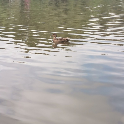
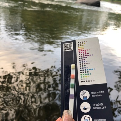
Mill pond park, 3 August 2020 -
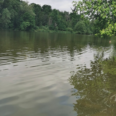
Mill pond park, 3 August 2020 -
North of St. Mays near ScienceHill golf course., 4 August 2020 -
North of St. Mays near ScienceHill golf course., 4 August 2020 -
Far end of Avon River near junction withThames River, 4 August 2020 -
Hickson Trail access Braemar Side Road, 4 August 2020 -
Perth-Oxford Road 1, East of Tavistock, 4 August 2020 -
.jpg)
North end of River St., at boat launch, 3 August 2020 -
Bateau Channel at the Howe Island Ferry dock, North shore, east end, 3 August 2020 -
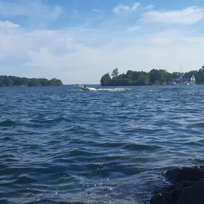
Bateau Channel at the Howe Island Ferry dock, North shore, east end, 3 August 2020 -

North end of River St., at boat launch, 3 August 2020 -
Behind KeyWest Condo, 3 August 2020 -
Nordheimer Ravine , 26 July 2020 -
Nordheimer Ravine , 26 July 2020 -
Cedarvale Park Ravine , 26 July 2020 -
Nordheimer Ravine , 3 August 2020 -
Cedarvale Park Ravine , 3 August 2020 -
Rideau river - Small waterfall - Riverside Dr / Data centre Rd, 2 August 2020


- Intended audience
- Our group or organization
- Intended use
- Education and engagement of local communities
Monitoring program details
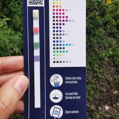
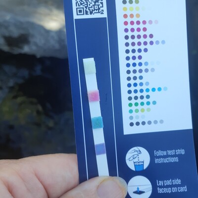
- Water quality criteria
- Canada
- Sampling frequency
- Weekly
Data sharing
Latest contribution to the dataset
 High Park Nature Centre
on 7 November at Grenadier park east shore
High Park Nature Centre
on 7 November at Grenadier park east shore