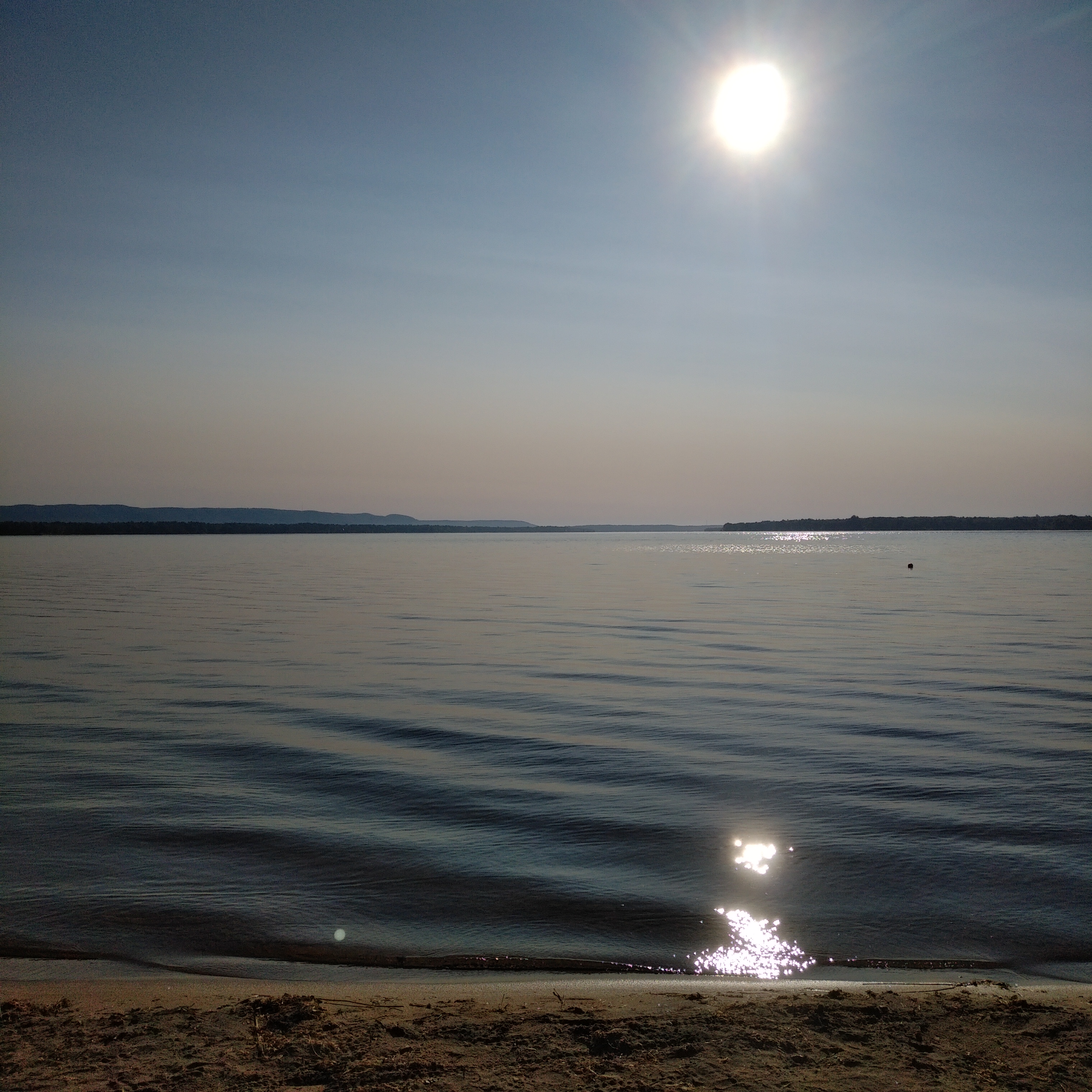
Sample locations
Contributing from 28 July 2024
Displaying locations 41 - 60 of 66 in total
-
Dataset: Water Quality Scavenger Hunt in the City of Ottawa
Ottawa River Upstream of Britannia Beach - Ottawa River
11 datapoints on 1 dates (August 05 2020 → August 05 2020)
-
Dataset: Water Quality Scavenger Hunt in the City of Ottawa
Remic rapids park - Ottawa river
5 datapoints on 1 dates (August 05 2020 → August 05 2020)
-
Dataset: Water Quality Scavenger Hunt in the City of Ottawa
Ottawa River at New Orchard Ave N. - Ottawa River
11 datapoints on 1 dates (August 05 2020 → August 05 2020)
-
Dataset: Water Quality Scavenger Hunt in the City of Ottawa
Rideau Ferry Conservation Area - Rideau River
5 datapoints on 1 dates (August 03 2020 → August 03 2020)
-
Dataset: Water Quality Scavenger Hunt in the City of Ottawa
Cardinal Creek At Caprihani Way - Cardinal Creek
7 datapoints on 1 dates (August 03 2020 → August 03 2020)
-
Dataset: Water Quality Scavenger Hunt in the City of Ottawa
Swamp @ Morris Island on Miner's Trail - Swamp @ Morris Island
12 datapoints on 1 dates (August 03 2020 → August 03 2020)
-
Dataset: Water Quality Scavenger Hunt in the City of Ottawa
Morris Island - Miner's Trail - Ottawa River
13 datapoints on 1 dates (August 03 2020 → August 03 2020)
-
Dataset: Water Quality Scavenger Hunt in the City of Ottawa
Petrie Island, boat ramp near parking lot - Ottawa River - inlet
5 datapoints on 1 dates (August 02 2020 → August 02 2020)
-
Dataset: Water Quality Scavenger Hunt in the City of Ottawa
Petrie island - River
5 datapoints on 1 dates (August 01 2020 → August 01 2020)
-
Dataset: Water Quality Scavenger Hunt in the City of Ottawa
End of Hiawatha Rd by Besserer Place - Ottawa River
19 datapoints on 2 dates (July 25 2020 → July 31 2020)
-
Dataset: Water Quality Scavenger Hunt in the City of Ottawa
Voyager Creek by path to des Ravins Pl - Voyager Creek
23 datapoints on 2 dates (July 28 2020 → July 31 2020)
-
Dataset: Water Quality Scavenger Hunt in the City of Ottawa
Voyager Creek behind Hunter's Run homes - Voyager Creek
11 datapoints on 1 dates (July 31 2020 → July 31 2020)
-
Dataset: Water Quality Scavenger Hunt in the City of Ottawa
Lombardy - Otter lake
6 datapoints on 1 dates (July 31 2020 → July 31 2020)
-
Dataset: Water Quality Scavenger Hunt in the City of Ottawa
Mud Lake East Shore - Mud Lake
11 datapoints on 1 dates (July 31 2020 → July 31 2020)
-
Dataset: Water Quality Scavenger Hunt in the City of Ottawa
Mud Lake South Shore - Mud Lake
10 datapoints on 1 dates (July 31 2020 → July 31 2020)
-
Dataset: Water Quality Scavenger Hunt in the City of Ottawa
Morris Island Conservation Area (Chat Fall Trail @ Trapper's Shortcut) - Ottawa River
15 datapoints on 1 dates (July 30 2020 → July 30 2020)
-
Dataset: Water Quality Scavenger Hunt in the City of Ottawa
Voyager Creek off Forest Valley Dr - Voyager Creek
5 datapoints on 1 dates (July 28 2020 → July 28 2020)
-
Dataset: Water Quality Scavenger Hunt in the City of Ottawa
Voyager Creek by east side of Heritage Park - Voyager Creek
12 datapoints on 1 dates (July 28 2020 → July 28 2020)
-
Dataset: Water Quality Scavenger Hunt in the City of Ottawa
Just downriver of the Bilberry Creek join, at the end of the walking path north from the end of Bilberry Dr - Ottawa River
26 datapoints on 2 dates (July 26 2020 → July 26 2020)
-
Dataset: Water Quality Scavenger Hunt in the City of Ottawa
Small backwater halfway from end of Bilberry Dr to Ottawa River - Bilberry Creek
13 datapoints on 1 dates (July 26 2020 → July 26 2020)