Location
WAG-W-03
Wagg Creek west branch emerges - WAG-W-03 High Priority
Wagg Creek west branch emerges - WAG-W-03 High Priority in British Columbia
Dataset summary
WAG-W-03 has data for current_weather, ph, chlorine, hardness, alkalinity, conductivity, turbidity, air_temperature, water_temperature, previous_weather, current_weather_description, oxygen, previous_weather_description, Ice on, and water_depth from 2 June 2022 to 20 July 2025.
.jpg)
- Water body type River or stream
- Dataset Wagg Creek Water Quality Monitoring Group, North Shore Streamkeepers Society
- Data collector Paul Lhotka
Data sharing
-
All datasets are open by default.
Download location data
This data is part of a bigger dataset, Wagg Creek Water Quality Monitoring Group.
- Location description
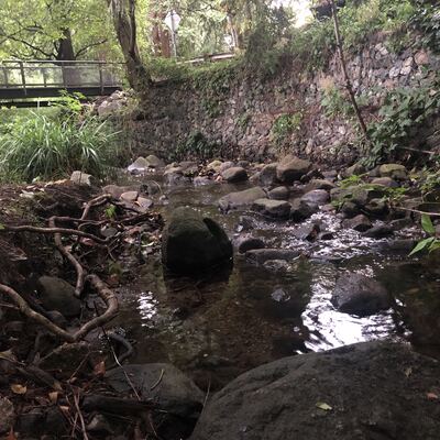
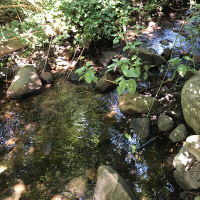
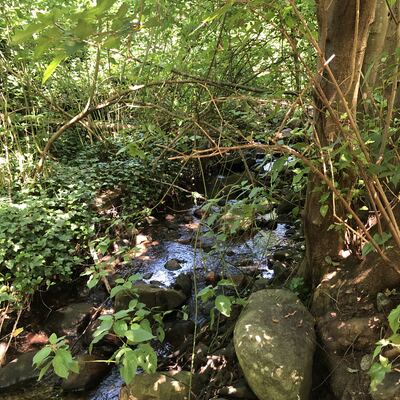
- location of WAG-W-03 using zoom on web app. West of Chesterfield and south of 23rd St. the west branch of Wagg Creek emerges from a 1.3 x 1.3 poured concrete box culvert. This is where the creek first surfaces south of Highway #1. This is a high energy, high flow site. Field measured GPS coordinates in NAD83 are -123.0754710, 49.32972203 in Long and Lat, or UTM 494516E, 5,464,113N