Location
WAG-M-03
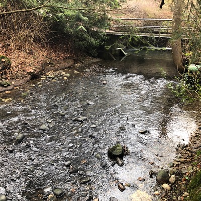
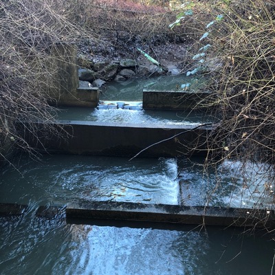
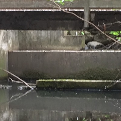
Wagg Creek at footbridge below sedimentation pond - WAG-M-03 Medium Priority
Wagg Creek at footbridge below sedimentation pond - WAG-M-03 Medium Priority in British Columbia
Dataset summary
WAG-M-03 has data for hardness, ph, alkalinity, conductivity, turbidity, air_temperature, water_temperature, current_weather, previous_weather, chlorine, current_weather_description, oxygen, previous_weather_description, Ice on, and water_depth from 27 April 2021 to 20 July 2025.
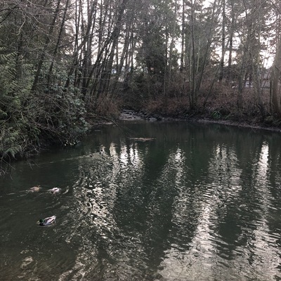
- Water body type River or stream
- Dataset Wagg Creek Water Quality Monitoring Group, North Shore Streamkeepers Society
- Data collector Paul Lhotka
Data sharing
-
All datasets are open by default.
Download location data
This data is part of a bigger dataset, Wagg Creek Water Quality Monitoring Group.
- Location description
- WAG-M-03 WAG Creek at footbridge below the sedimentation pond at the fish ladder. CNV City Map CNV City Map -123.0777490, 49.32733712 Long and Lat, or UTM 494,351E, 5,463,848N. Identical to Salt Project site "Wagg Creek Fish Ladder and Pond at Mahon St". Merge data into this new location or archive old data?