Recent photos
-
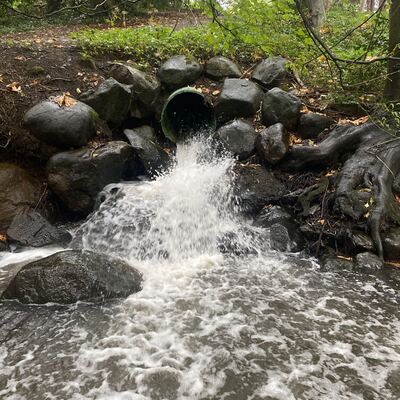
25 September 2024 -
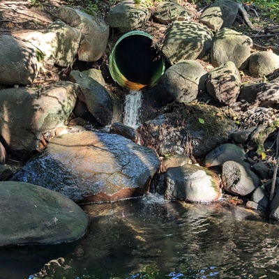
13 September 2024 -

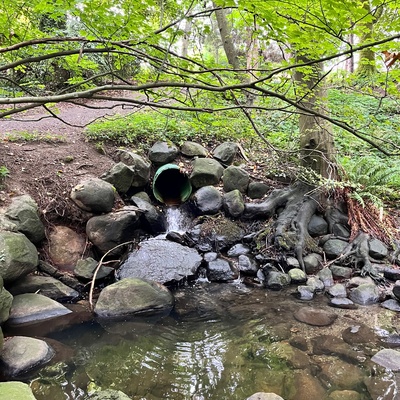
13 September 2024 -

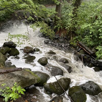
13 September 2024 -
6 September 2024 -
20 August 2024 -

29 July 2024 -

29 July 2024 -
29 July 2024 -

22 July 2024 -

22 July 2024 -

20 February 2024 -

20 February 2024 -
20 February 2024 -

23 March 2024 -

23 March 2024 -

9 December 2023 -

29 December 2023 -
6 December 2023 -

14 June 2021