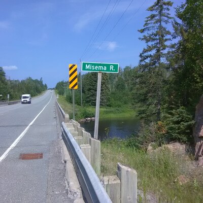
Location
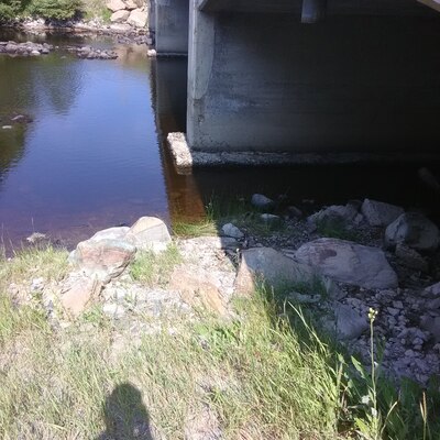
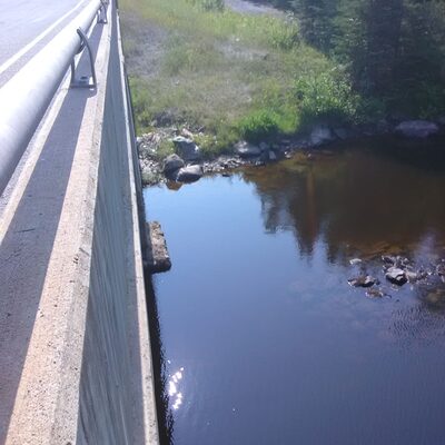
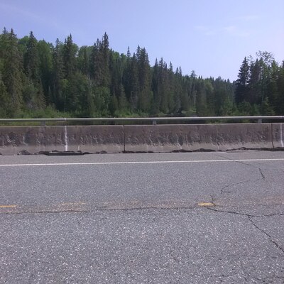
Under the Bridge on S Side of Hwy 66 at Misena River
Misena River
Misena River in Ontario
Dataset summary
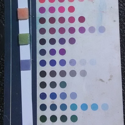
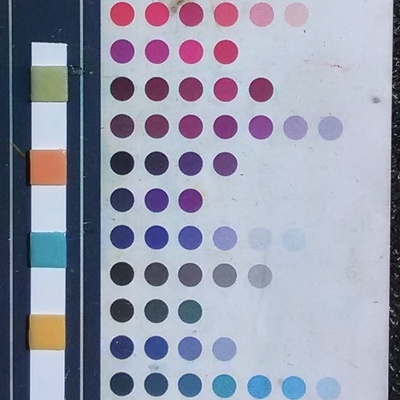
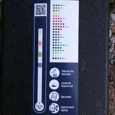
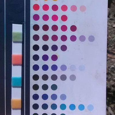
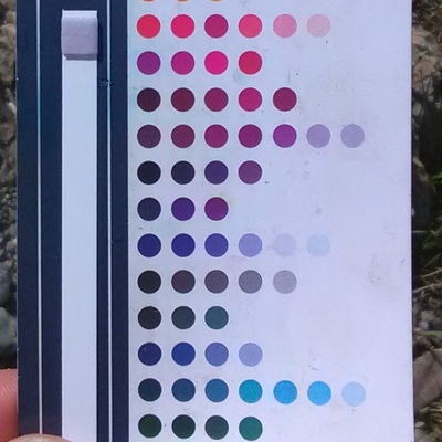
Under the Bridge on S Side of Hwy 66 at Misena River has data for current_weather, ph, oxygen, secchi_depth, hardness, alkalinity, water_depth, conductivity, air_temperature, water_temperature, Ice on, previous_weather_description, previous_weather, current_weather_description, chlorine, and phosphates from 26 July 2019 to 30 August 2025.


- Water body type River or stream
- Dataset County Sustainability Group, County Sustainability Group
- Data collector Don Ross
- Location description
- Easily accessed from under the highway bridge on the south side of Hwy 66 along the riverbank on east side of the river ahead of the small rapids.