Location
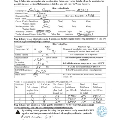
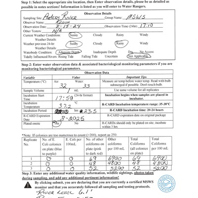
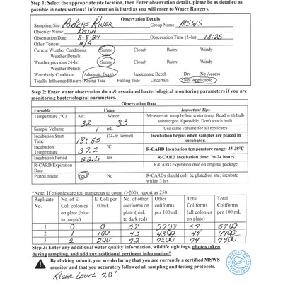
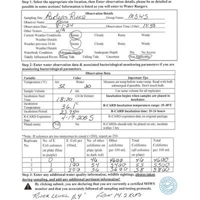
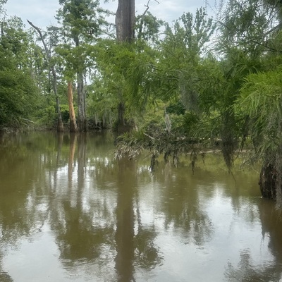
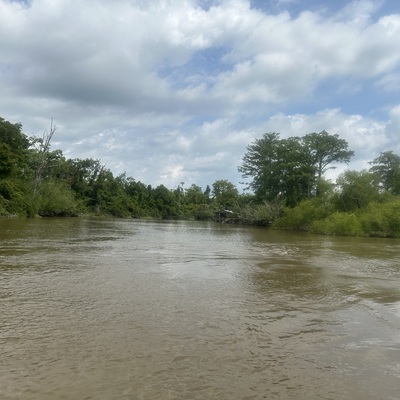
Porters River
End of Porters River
End of Porters River in Louisiana
Dataset summary
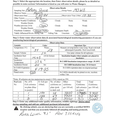
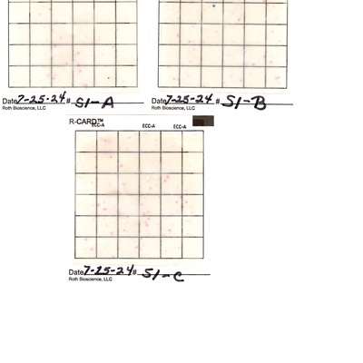
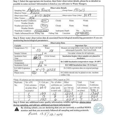
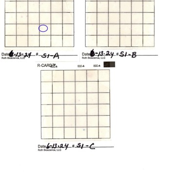
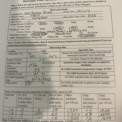
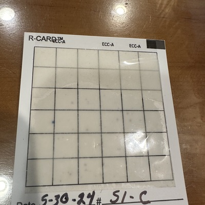
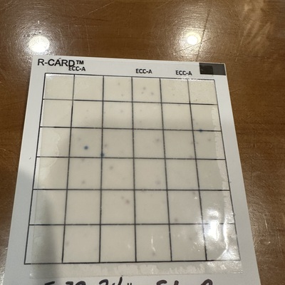
Porters River has data for flow, e_coli, previous_weather, current_weather, incubation_temperature, water_temperature, incubation_time, air_temperature, total_coliform, other_coliform, river_stage, previous_weather_description, and current_weather_description from 31 May 2024 to 23 August 2024.

About this location
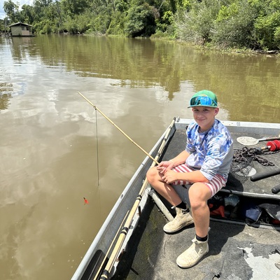
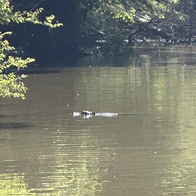
- Water body type River or stream
- Dataset Mississippi Water Stewards, Mississippi State University
- Data collector Kevin Olsen
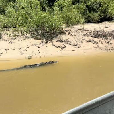
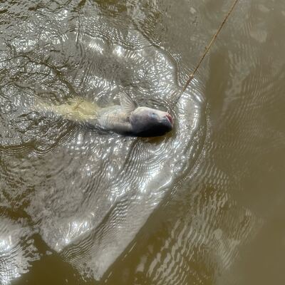
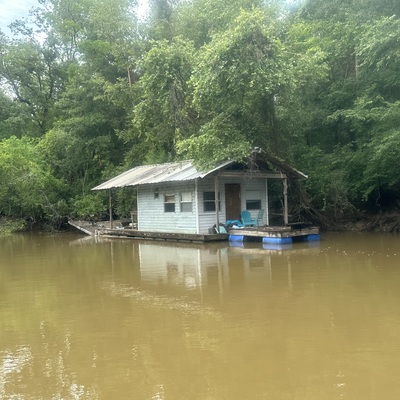
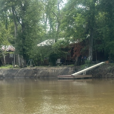
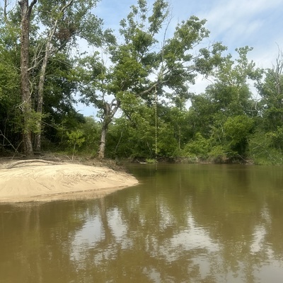
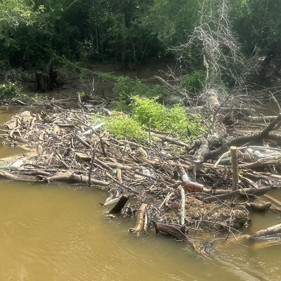
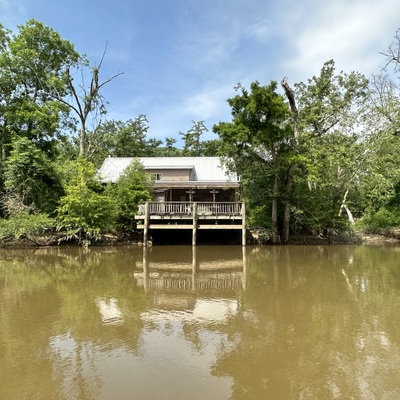
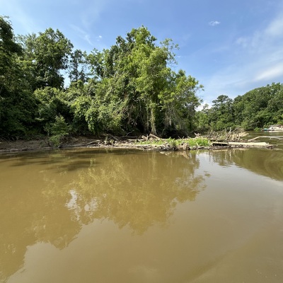
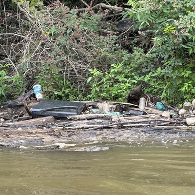
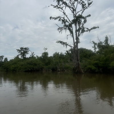
- Location description Porters river is approximately 2.5 - 3 miles long. It is fed from the West Pearl River just below Interstate 59 in Pearl River, Louisiana. Its water returns into the West Pearl River. The water flow is controlled by the West Pearl River and can be monitored from the National Water Prediction Service (NWPS) web site ID #NWSLI: PERL1, Reach ID: 15714333 Permanent residents, primitive camps, and boat houses can be found along the river but mostly you will find wooded banks. Although the water is fed from the WPR there is drainage from residential/neighborhood, small business, light industry and woodland.
Data sharing
-
All datasets are open by default.
Download location data
This data is part of a bigger dataset, Mississippi Water Stewards.