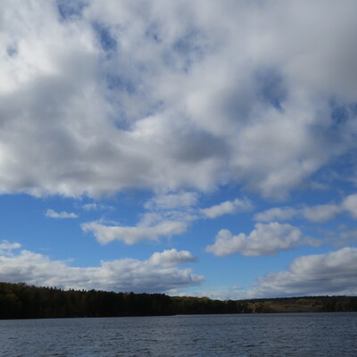
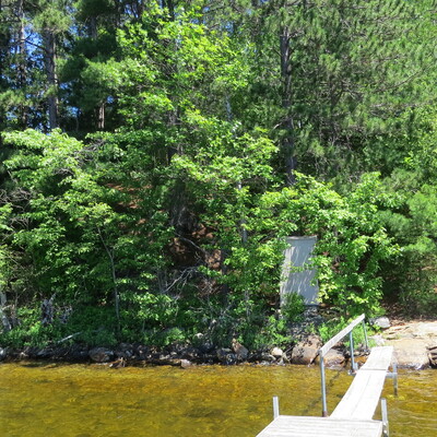
Location
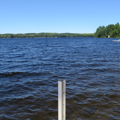
Off dock, south east area of Lake
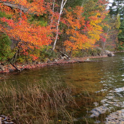
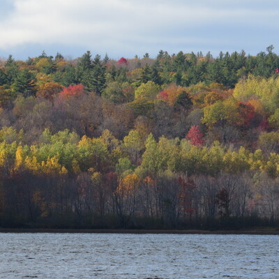
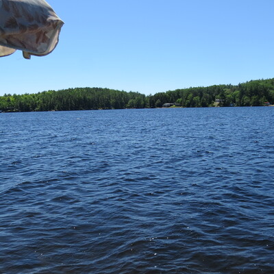
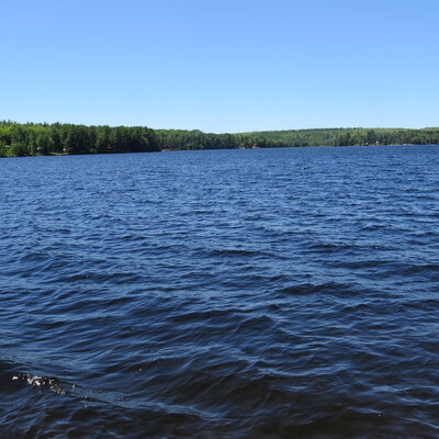
Buckshot Lake
Buckshot Lake in Ontario
Dataset summary
Off dock, south east area of Lake has data for ph, oxygen, hardness, alkalinity, water_depth, conductivity, air_temperature, water_temperature, current_weather, current_weather_description, previous_weather, previous_weather_description, and secchi_depth from 25 June 2018 to 30 September 2019.
About this location
- Water body type Lake
- Dataset Guardians, Water Rangers
- Data collector Kat Kavanagh
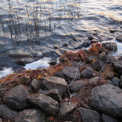
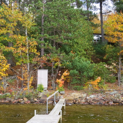
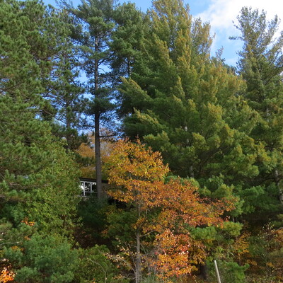
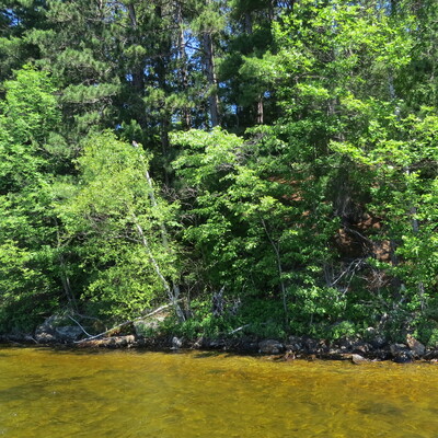
- Location description Buckshot Lake is located near the NW corner of the Mississippi River watershed. The reading site is a relative still area of the lake since the inlet for this uncontrolled lake is at the north-west & outlet at the south-west. The lake can get rough when strong winds prevail. The reading spot is shallow at approx. 1.3m but varies considerably, sometimes up to 3 to 5 inches (0.075 to 0.125 M) in the couple of days following heavy rains. The topography from the dock rises sharply @ a rate of approximately 9M in 24M. Trees are mostly very mature red & white pines, red oak, beech & maple. The depth of the lake varies from approx. 9M to 33.5M The lake was declared a Lake Trout Sensitive Lake by the OMNR in 2000.
Data sharing
-
All datasets are open by default.
Download location data
This data is part of a bigger dataset, Guardians.