Location
Longbridge Mill
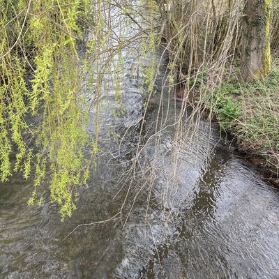
River Loddon
River Loddon in Hampshire
Dataset summary
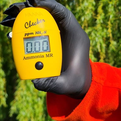
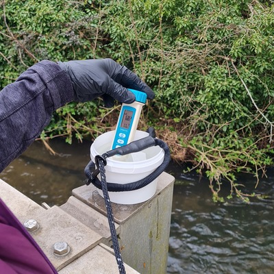
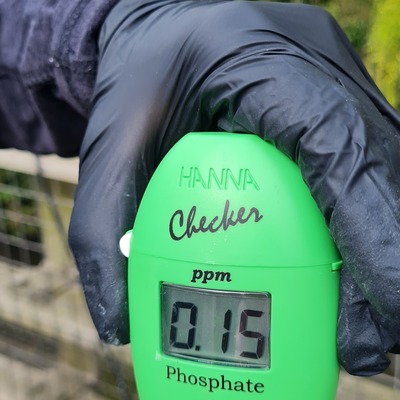
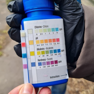
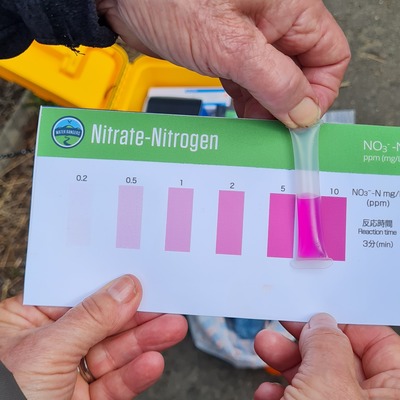
Longbridge Mill has data for current_weather_description, phosphates, air_temperature, chlorine, ammonia, water_temperature, conductivity, alkalinity, nitrate_nitrogen, hardness, ph, water_depth, secchi_depth, previous_weather, current_weather, previous_weather_description, phosphate_phosphorus, and nitrates from 21 February 2025 to 19 April 2026.
- Water body type River or stream
- Dataset Loddon Under the Microscope, Loddon Catchment Partnership
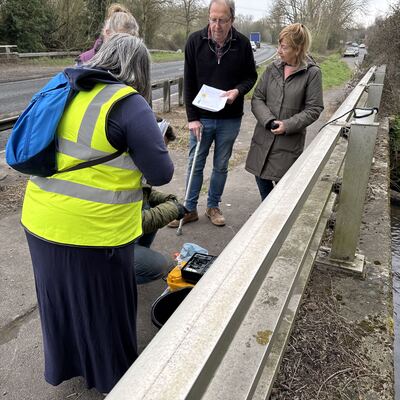
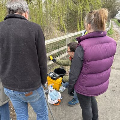
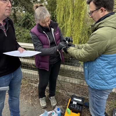
- Data collector Josh Bowes
Data sharing
-
All datasets are open by default.
Download location data
This data is part of a bigger dataset, Loddon Under the Microscope.
- Location description
- Grid ref: SU 68253 58352 W3w: ///increased.sloping.courage Nearest emergency access point: opposite Longbridge Mill, Sherfield on Loddon, Hook RG27 0DL Water Sampling Only