Location
Fox Corner Nature Reserve
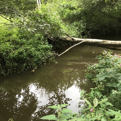
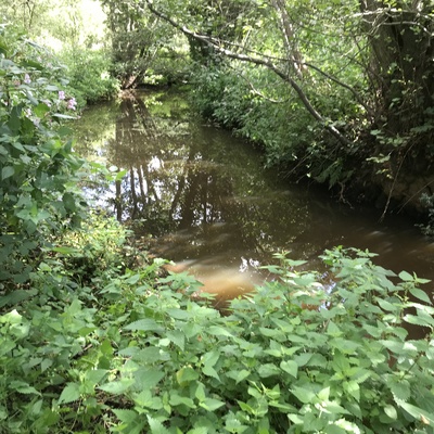
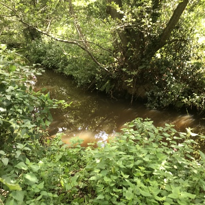
Stanford Brook/Hoe Stream
Stanford Brook/Hoe Stream in Surrey
Dataset summary
Fox Corner Nature Reserve has data for ph, current_weather, phosphate_phosphorus, conductivity, previous_weather, on_the_water_s_surface, pollution_sources, water_temperature, air_temperature, nitrate_nitrogen, clarity, water_level, water_flow, alkalinity, chlorine, odour, colour, algae, hardness, current_weather_description, previous_weather_description, phosphates, and nitrates from 29 July 2023 to 22 February 2026.

- Water body type River or stream
- Dataset WEAct Hub, River Wey Trust
- Data collector Philippa Mitchell
Data sharing
-
All datasets are open by default.
Download location data
This data is part of a bigger dataset, WEAct Hub.
- Location description
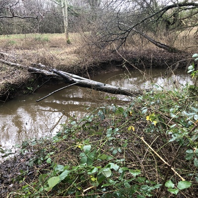
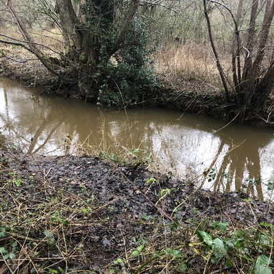
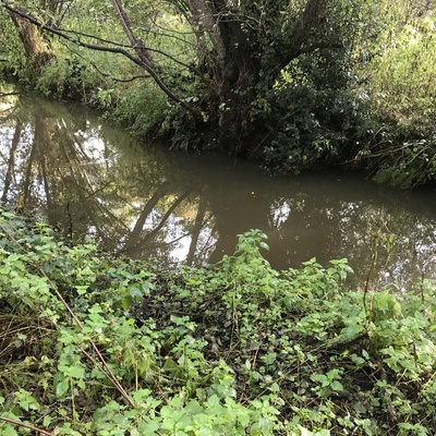
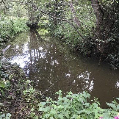
- Testing site is within the Fox Corner Nature Reserve about 15m downstream from the confluence of the Stanford Brook and Hodge Brook. There is a lot of bankside vegetation, but it is easily pushed back to enable access down a gentle slope to the stream edge. Then carry water sample up to path to do the survey. The Stanford Brook is a slow moving stream, the Hodge Brook considerably faster and with more sediment.