Location
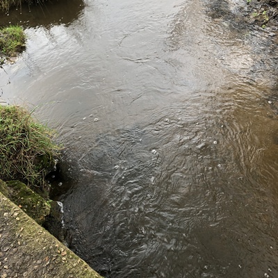
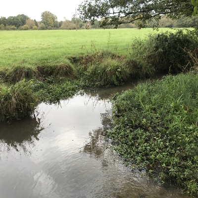
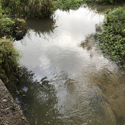
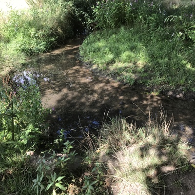
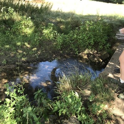
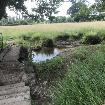
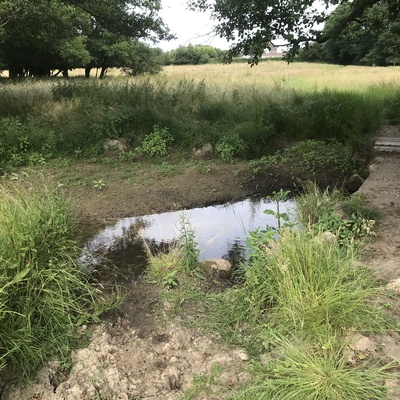
Cow field bridge
Tributary of Classford Brook, Normandy
Tributary of Classford Brook, Normandy in Surrey
Dataset summary
Cow field bridge has data for odour, previous_weather_description, water_flow, water_level, clarity, air_temperature, water_temperature, conductivity, chlorine, ph, alkalinity, hardness, phosphate_phosphorus, nitrate_nitrogen, current_weather, previous_weather, on_the_water_s_surface, algae, colour, current_weather_description, phosphates, nitrates, water_use, and pollution_sources from 23 June 2023 to 29 November 2025.


- Water body type River or stream
- Dataset South Wey Hub, River Wey Trust
- Data collector Philippa Mitchell
Data sharing
-
All datasets are open by default.
Download location data
This data is part of a bigger dataset, South Wey Hub.
- Location description
- The testing point is by the stone bridge over the larger stream in the cow field. The bank edge is quite trampled by cows to the south and east of the bridge and the stream is quite wide here. To the north of the bridge it is narrower. The stream comes from springs on the Hogs Back and travels past fields with horses in and Backhurst/Strawberry Farm (soils, rocks, woodchip etc are stored and sold from here). The testing location is on a footpath and from the bridge so is accessible all year, even when the water is very high, the bridge is usually above the water. The water was flowing steadily on this occassion