Location
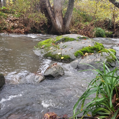
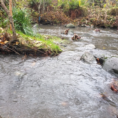
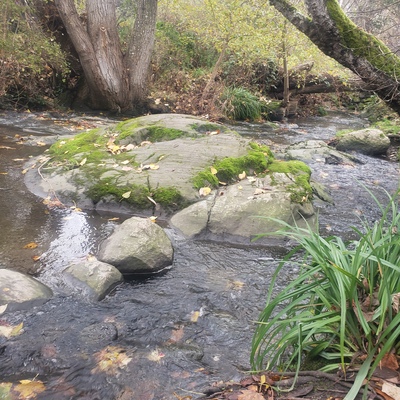
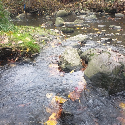
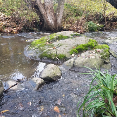
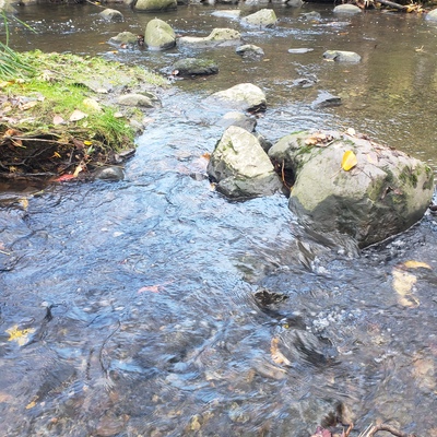
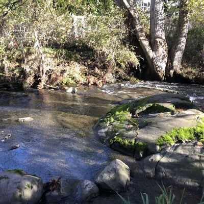
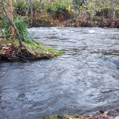
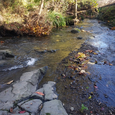
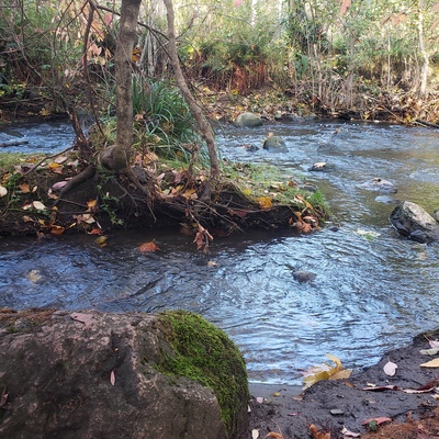
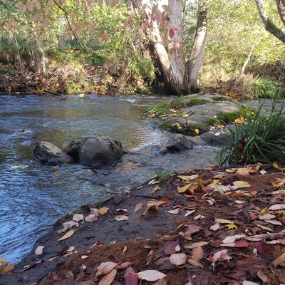
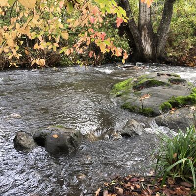
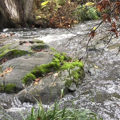
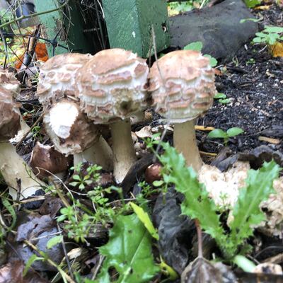
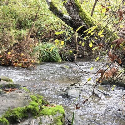
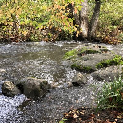
Bowker Creek: end of the riffle at Monteith
Bowker Creek
Bowker Creek in British Columbia
Dataset summary
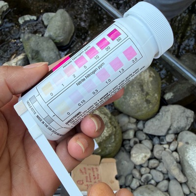
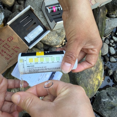
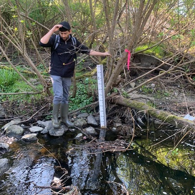
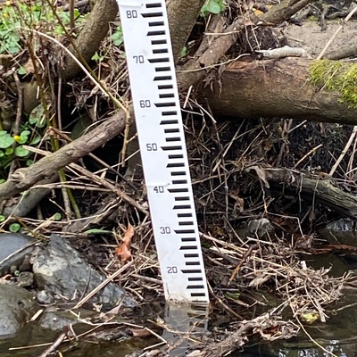
Bowker Creek: end of the riffle at Monteith has data for water_depth, phosphates, water_temperature, air_temperature, oxygen, nitrites, nitrates, ammonia, ph, water_level, secchi_depth, on_the_water_s_surface, pollution_sources, odour, algae, colour, water_use, clarity, previous_weather, current_weather, previous_weather_description, current_weather_description, and flow from 15 October 2024 to 27 April 2026.
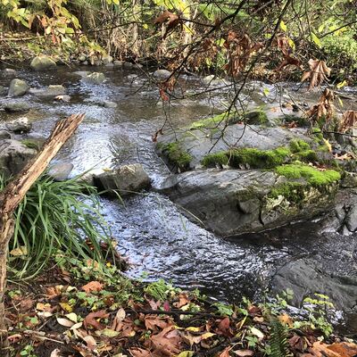
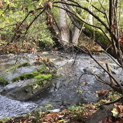
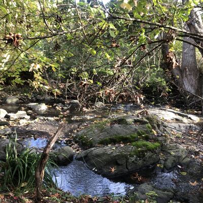
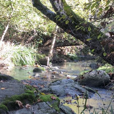
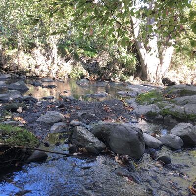
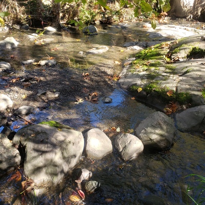
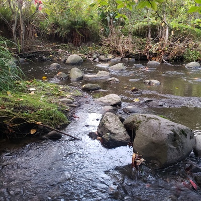
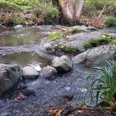
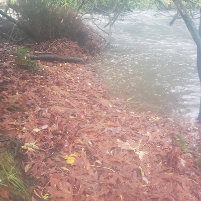
About this location
- Water body type River or stream
- Dataset Salmon Recovery, Friends of Bowker Creek
- Data collector Eldan Goldenberg
Data sharing
-
All datasets are open by default.
Download location data
This data is part of a bigger dataset, Salmon Recovery.