Location
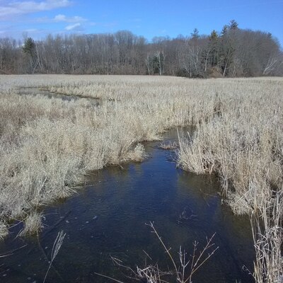
Black River marsh outlet from stream
Black Creek ( River )
Black Creek ( River ) in Ontario
Dataset summary
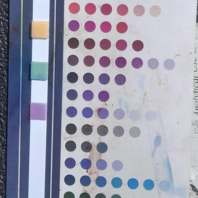
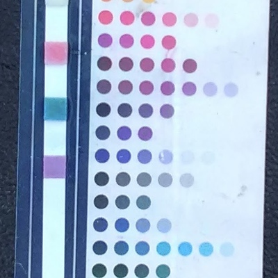
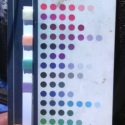
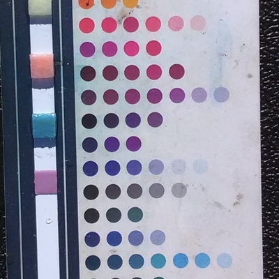
Black River marsh outlet from stream has data for alkalinity, previous_weather_description, current_weather, Ice on, secchi_depth, water_depth, ph, oxygen, water_temperature, air_temperature, conductivity, hardness, previous_weather, current_weather_description, and chlorine from 23 March 2019 to 9 April 2026.


About this location
- Water body type River or stream
- Dataset County Sustainability Group, County Sustainability Group
- Data collector Don Ross
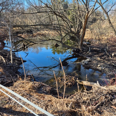
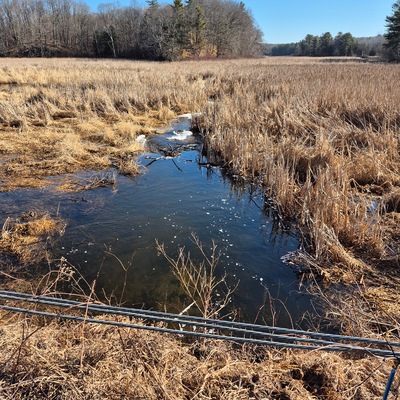
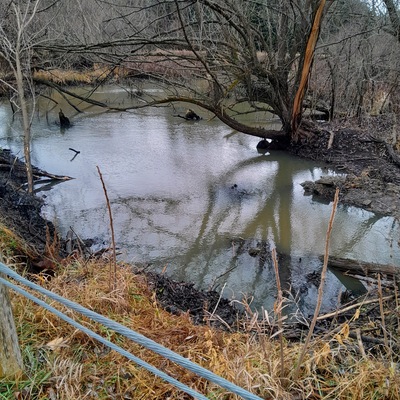
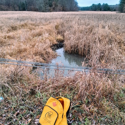
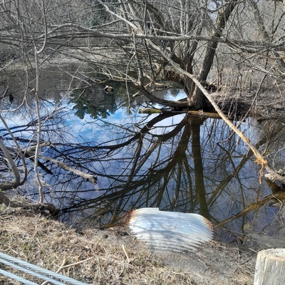
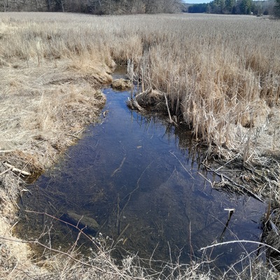
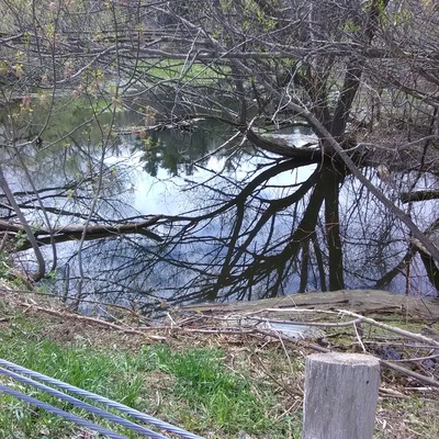
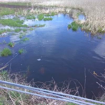
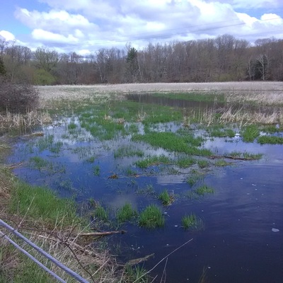
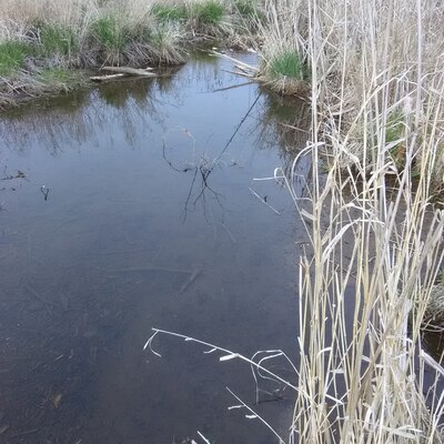
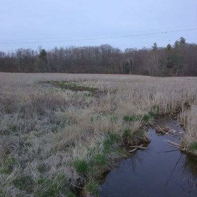
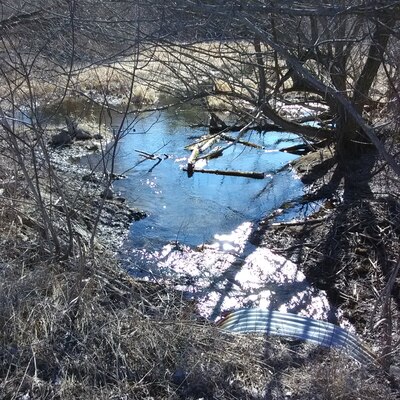
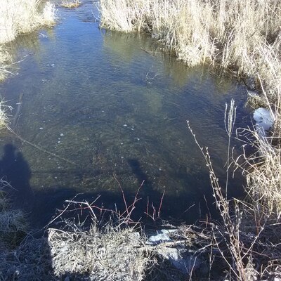
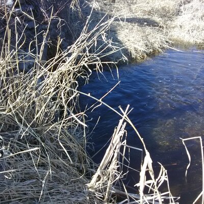
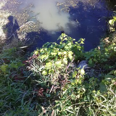
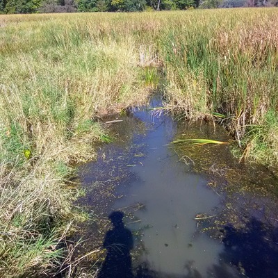
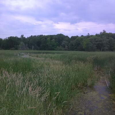
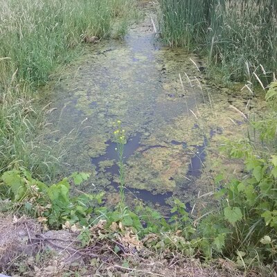
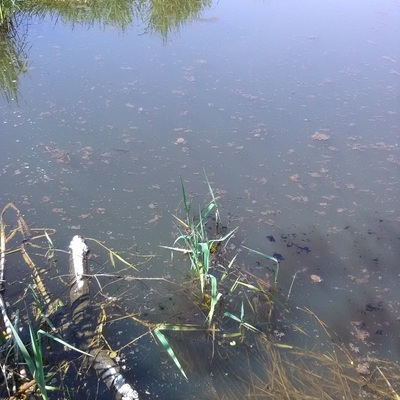
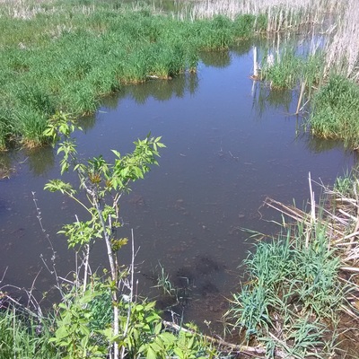
- Location description Seasonal stream ( spring & fall mostly ) flowing from west under County Rd 10 near Chapmans Cres into the marsh of the Black River which then flows eventually downstream into Lake Ontario . Test location is beside the culvert on the east side of the road which can be accessed easily by walking down the small embankment.
Data sharing
-
All datasets are open by default.
Download location data
This data is part of a bigger dataset, County Sustainability Group.