Location
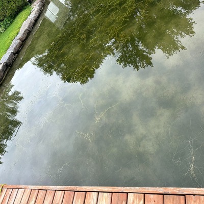
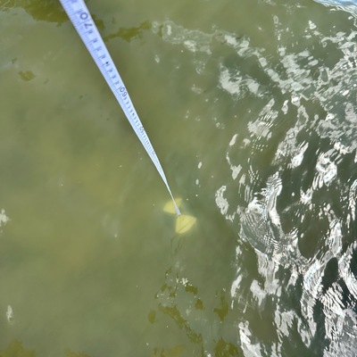
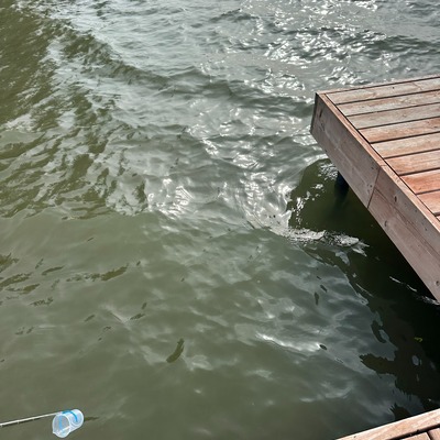
Amanndale Bay
St-Lawrence River
St-Lawrence River in Ontario
Dataset summary
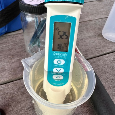
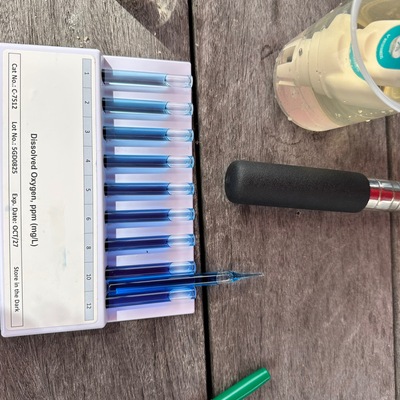
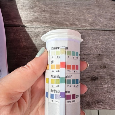
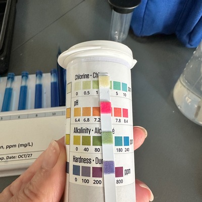
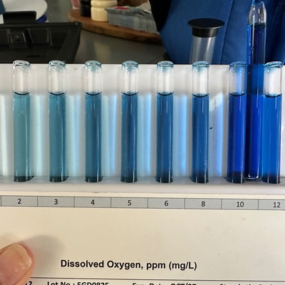
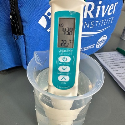
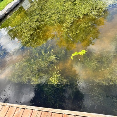
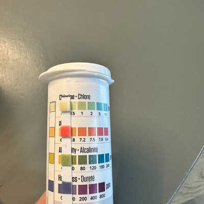
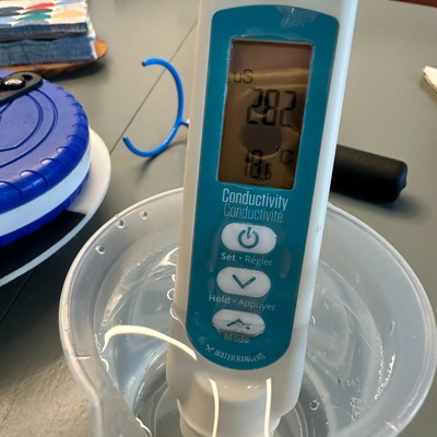
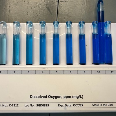
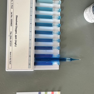
Amanndale Bay has data for current_weather_description, previous_weather_description, current_weather, previous_weather, algae, aquatic_vegetation, water_level, secchi_depth, water_depth, Ice on, air_temperature, water_temperature, conductivity, oxygen, chlorine, ph, alkalinity, and hardness from 23 May 2026 to 22 June 2026.
About this location
- Water body type River or stream
- Dataset Upper St. Lawrence River Volunteer Monitoring, River Institute
- Land use Urban residential
- Bank vegetation Grass
- Location description It's off of a dock in a bay (not much current). The water level is shallow for about 200 feet (ranging from 1 foot to about 5 feet deep in the bay). The water quality varies a lot during warm summer months
Data sharing
-
All datasets are open by default.
Download location data
This data is part of a bigger dataset, Upper St. Lawrence River Volunteer Monitoring.