Location
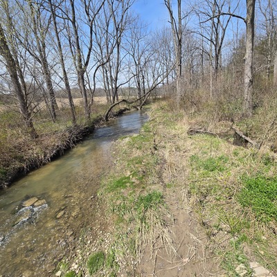
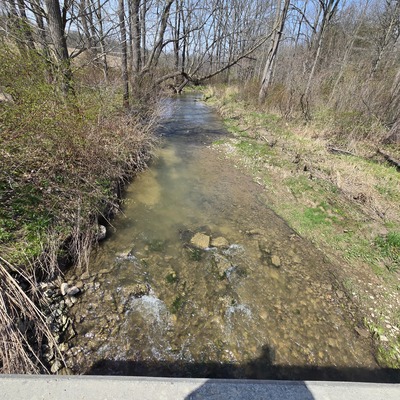
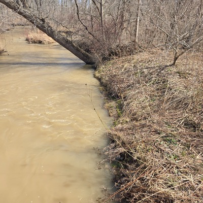
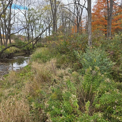
16 mile creek
Port Glascow (creek just down hill to right of marina on Grey line
Port Glascow (creek just down hill to right of marina on Grey line in Ontario
Dataset summary
16 mile creek has data for on_the_water_s_surface, current_weather, current_weather_description, water_flow, water_level, secchi_depth, water_depth, Ice on, air_temperature, water_temperature, conductivity, oxygen, chlorine, ph, alkalinity, hardness, previous_weather, pollution_sources, odour, previous_weather_description, colour, clarity, and algae from 28 May 2023 to 31 May 2026.
About this location
- Water body type River or stream
- Dataset Lake Erie Rangers Monthly Monitoring, Lake Erie Rangers
- Data collector Rick Sowinski Maggie Jones
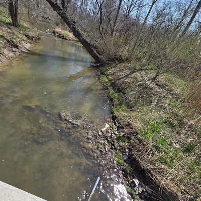
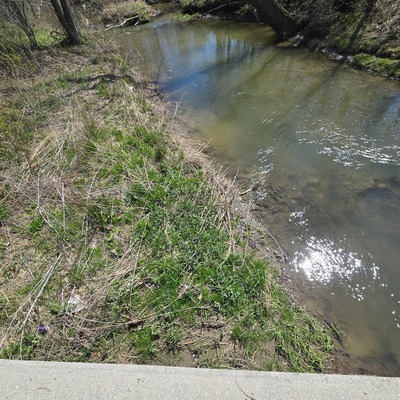
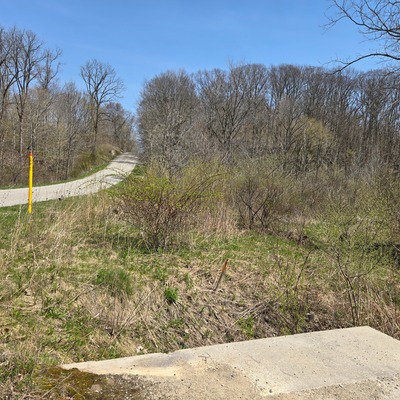
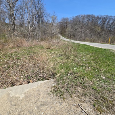
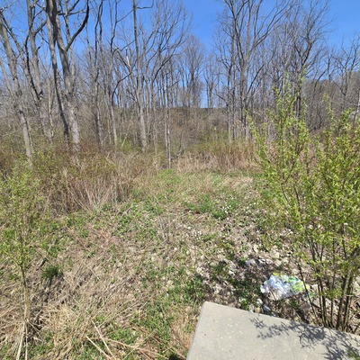
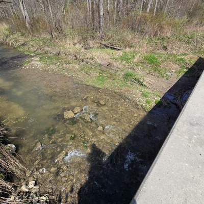
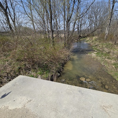
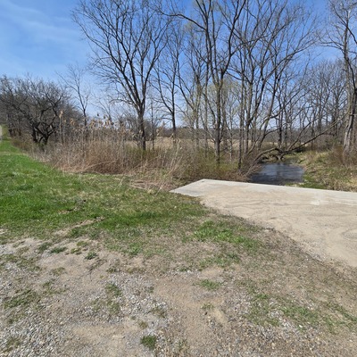
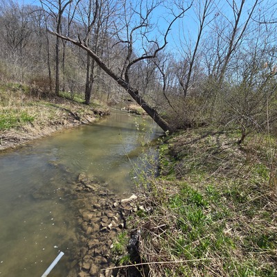
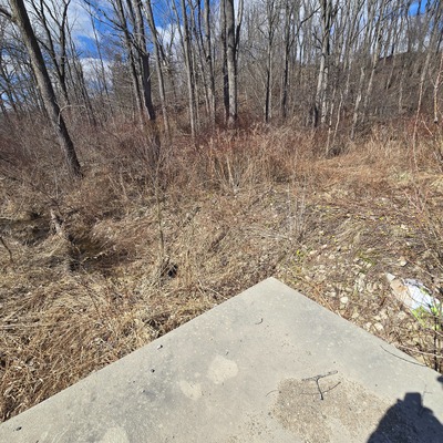
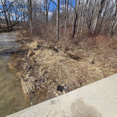
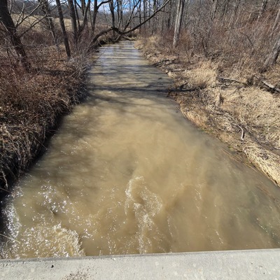
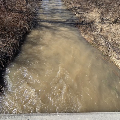
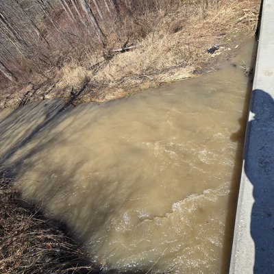
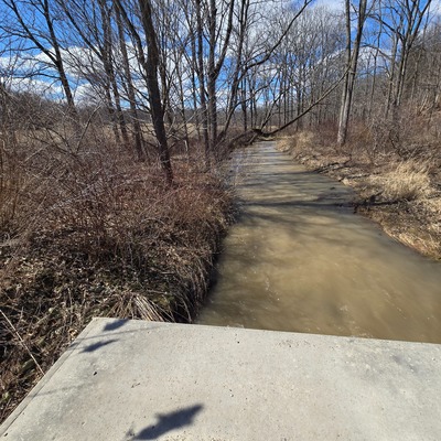
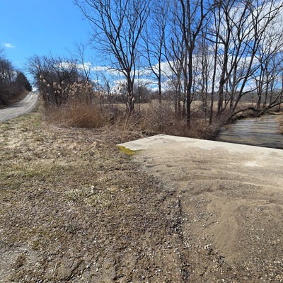
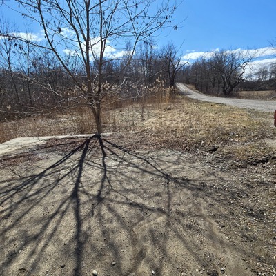
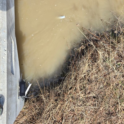
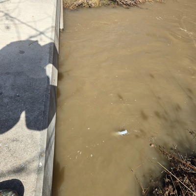
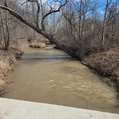
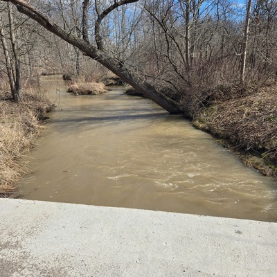
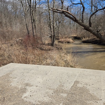
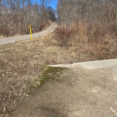
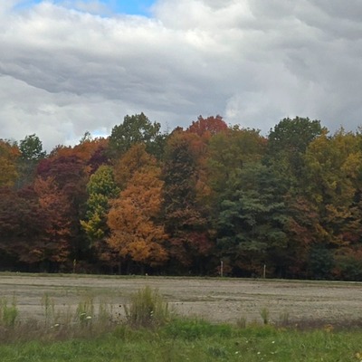
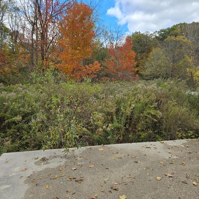
- Location description This tributary is feeding into Lake Erie at Port Glasow. Our test site was down the hill on Grey line to right of marina. There is a cement culvert. We tested on the lake side in the left front corner. You can access by going down bank beside culvert . The left culvert hole (from below) was dry and we took our sample from the rocks about 8 ft from culvert leading into water.
Data sharing
-
All datasets are open by default.
Download location data
This data is part of a bigger dataset, Lake Erie Rangers Monthly Monitoring.