Recent photos
-
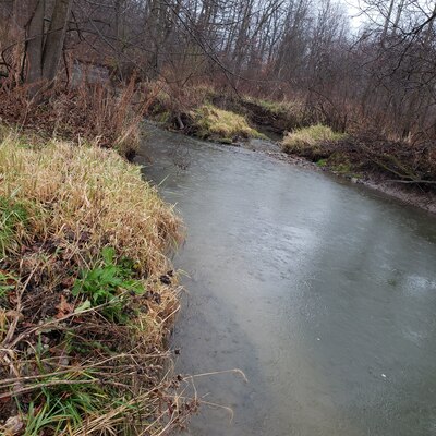
29 December 2023 -
29 December 2023 -
29 December 2023 -
29 December 2023 -
29 December 2023 -
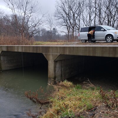
26 November 2023 -
26 November 2023 -
26 November 2023 -
26 November 2023 -
26 November 2023 -

26 November 2023 -

26 November 2023 -
26 November 2023 -
26 November 2023 -
26 November 2023 -
26 November 2023 -
26 November 2023 -
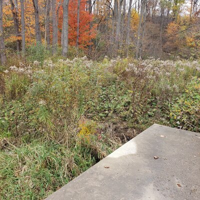
29 October 2023 -

29 October 2023 -

29 October 2023