Location
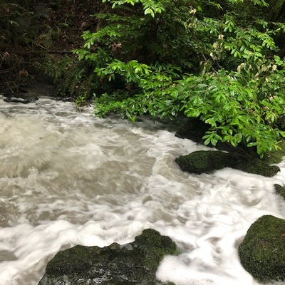
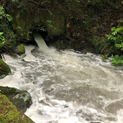
15th Street Storm drain - WAG-E-03 High Priority
Stormwater pipe discharge
Stormwater pipe discharge in British Columbia
Dataset summary
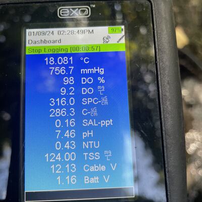
15th Street Storm drain - WAG-E-03 High Priority has data for current_weather, previous_weather, turbidity, conductivity, alkalinity, hardness, chlorine, ph, water_temperature, air_temperature, current_weather_description, oxygen, previous_weather_description, flow, Ice on, and water_depth from 29 April 2021 to 20 July 2025.
- Dataset Wagg Creek Water Quality Monitoring Group, North Shore Streamkeepers Society
- Data collector Paul Lhotka
Data sharing
-
All datasets are open by default.
Download location data
This data is part of a bigger dataset, Wagg Creek Water Quality Monitoring Group.
- Location description
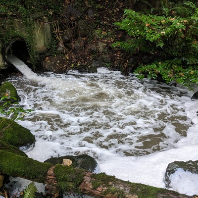
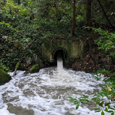
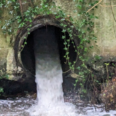
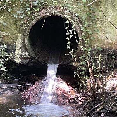
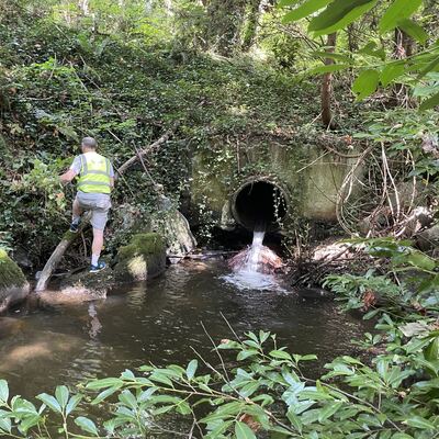
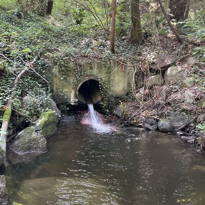
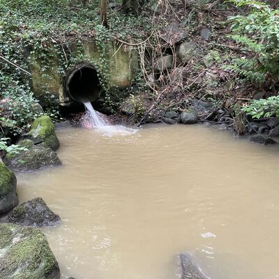
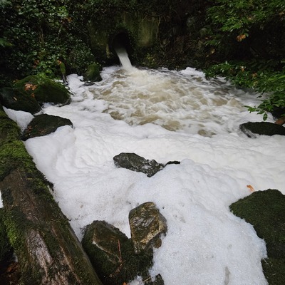
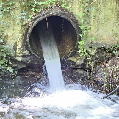
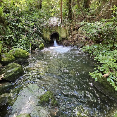
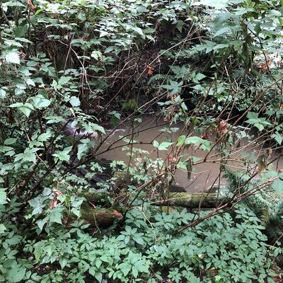
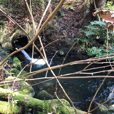
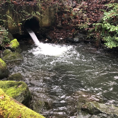
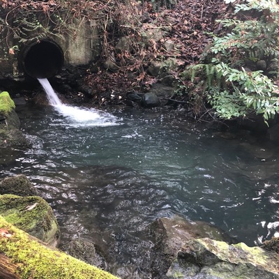
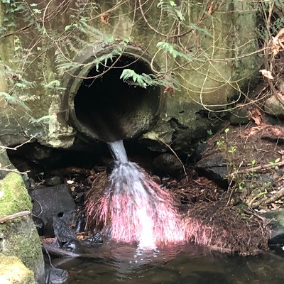
- corrected location of WAG-E-03 using zoom on web app. This is where a concrete storm pipe of 0.9m inside diameter surfaces and joins with Wagg Creek just downstream of a pedestrian bridge over the creek on the east side. A large plunge pool with large boulders forms a deep pool due to high energy discharge during storm. Field measured GPS coordinates in NAD83 are -123.0871740, 49.32245002 in Long and Lat, or UTM 493,665E, 5,463,306N