Observations
-
23 August 2022
Atton Lake Baseline by Water Security Agency
-
23 August 2022
Bushy Lake Baseline by Water Security Agency
-
23 August 2022
Christopher Lake Baseline by Wayne Hyde
-
23 August 2022
McPhee Lake Baseline by Wayne Hyde
-
22 August 2022
Perch Lake Baseline by Water Security Agency
-
22 August 2022
Christopher Lake off of Derek Pl by Emilee wagner
-
22 August 2022
Emma Lake Baseline 3 by Wayne Hyde
-
22 August 2022
Emma Lake Baseline 2 by Wayne Hyde
-
22 August 2022
Emma Lake Baseline 1 by Wayne Hyde
-
21 August 2022
Turtle Lake near Indian Point by Robert ( Bob) Parker
-
-
20 August 2022
Channel between peninsula and island by Carola Giudicelli
-
19 August 2022
Big River Bible Camp dock by Amy McInnes
-
19 August 2022
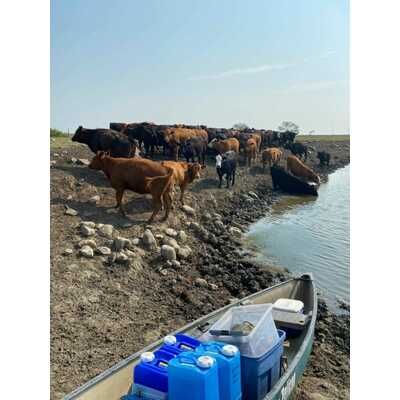
Kipabiskau Lake - 600m southeast of Kipabiskau Regional Park by AL BRADSHAW
PH measured with a meter with previous samples using test strips. Heavy weed growth on north shore line on west end of the lake. Mechanical weed cutting was done mid July and we should have waited for another 2 weeks as getting off boat lifts to deeper water is becoming difficult. Also water level is down over a foot with water just up to the rocks with some sand showing. Minimal algae growth all season which may be due to nutrient competition with the weeds however new owner of a 3500 cow/feedlot operation on our south shore has also taken steps to lessen his footprint down stream which will benefit Kip.
-
18 August 2022
Murray Lake Baseline by Water Security Agency
-
18 August 2022
High Ridge Bay by Jerry Cheshuk
-
-
18 August 2022
Jackfish Lake Baseline by Water Security Agency
-
17 August 2022
Round Lake - Baseline by Water Security Agency
-
17 August 2022
Crooked Lake - Baseline by Water Security Agency