This dataset is inactive (last observation on 7 November 2024).
Dataset
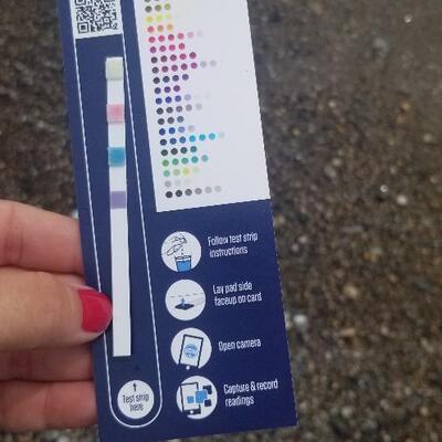
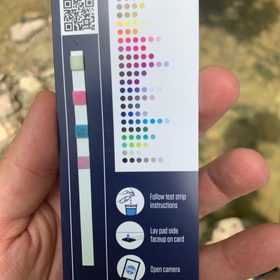
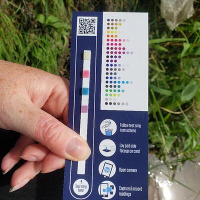
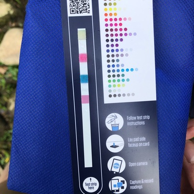
2020 OTF Test Strip Reading Study
Dataset by Water Rangers
Dataset summary
Recent photos
-
Willowood Beach , 12 July 2020 -
HILLMAN MARSH, 12 July 2020 -
HILLMAN MARSH, 12 July 2020 -
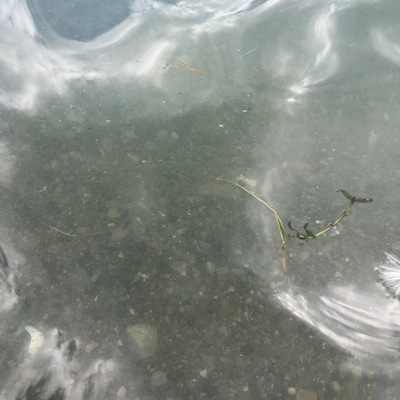
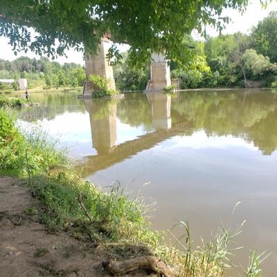
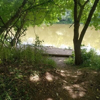
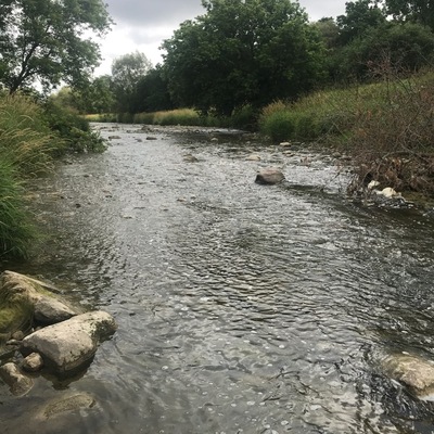
South of Victoria Street off Walter Bean trail, approx 60 ft South of railway bridge (Kitchener), 12 July 2020 -
South of Victoria Street off Walter Bean trail, approx 60 ft South of railway bridge (Kitchener), 12 July 2020 -
Wheatley Harbor Beach , 12 July 2020 -
Etobicoke M9C, 12 July 2020 -
South of Victoria Street off Walter Bean trail, approx 60 ft South of railway bridge (Kitchener), 12 July 2020 -
J.A Pollock family Trailway at Stanley, Kitchener, Ontario (Victoria and Shirley st), 12 July 2020 -
J.A Pollock family Trailway at Stanley, Kitchener, Ontario (Victoria and Shirley st), 12 July 2020 -
North of St. Mays near ScienceHill golf course., 12 July 2020 -
North of St. Mays near ScienceHill golf course., 12 July 2020 -
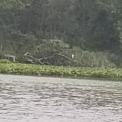
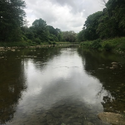
Far end of Avon River near junction withThames River, 12 July 2020 -
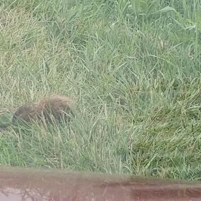
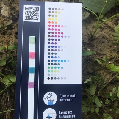
thamesford ontario , 11 July 2020 -
thamesford ontario , 11 July 2020 -
thamesford ontario , 11 July 2020 -
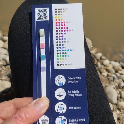
Shirley's Bay, 11 July 2020 -
Watts Creek, 11 July 2020 -
Just past boat launch, 11 July 2020 -
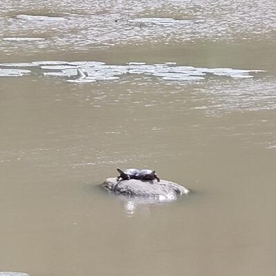
Grenadier park east shore, 11 July 2020
- Intended audience
- Our group or organization
- Intended use
- Education and engagement of local communities
Monitoring program details
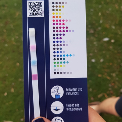
- Water quality criteria
- Canada
- Sampling frequency
- Weekly
Data sharing
Latest contribution to the dataset
 High Park Nature Centre
on 7 November at Grenadier park east shore
High Park Nature Centre
on 7 November at Grenadier park east shore