Location
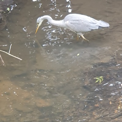
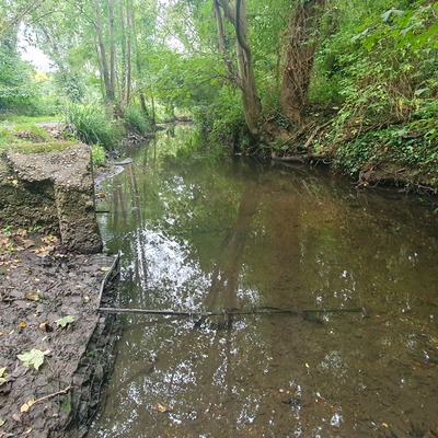
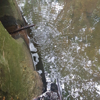
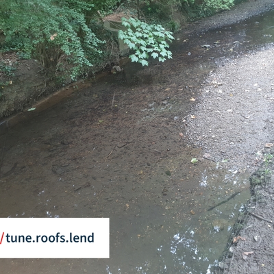
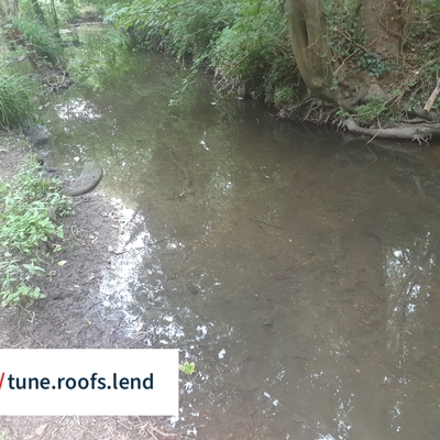
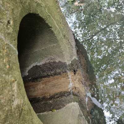
Windsor Open Space - Village Road Outfall
Dollis Brook
Dollis Brook in England
Dataset summary
Windsor Open Space - Village Road Outfall has data for previous_weather_description, previous_weather, current_weather_description, current_weather, on_the_water_s_surface, colour, water_use, water_flow, pollution_sources, water_level, clarity, phosphates, turbidity, ammonia, conductivity, water_temperature, algae, odour, and air_temperature from 15 July 2025 to 14 September 2025.
- Water body type River or stream
- Dataset Brent Catchment Water Quality Working Group, Thames21
- Data collector Dianne Murphy
- Location description
- Surface Water outfall pipe on the East bank of the Dollis Brook adjacent to the Dollis Valley Green Walk close to Windsor Open Space. Comes from residential properties in Village Road & Cyprus Ave. Chronic pollution problems reported to TW and EA on many occasions over several years. https://what3words.com/give.chat.ages